

CASE STUDIES
TRACER has been applied in major U.S. oil and gas production regions to evaluate emissions, air quality impacts, and potential community exposures at high spatial and temporal resolution.
These case studies demonstrate how the TRACER framework integrates emissions modeling, atmospheric transport, and exposure assessment to support research, policy, and public health applications.
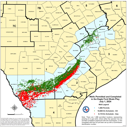
The Eagle Ford Shale served as the initial application of the TRACER framework. This case study focuses on high‑resolution modeling of routine and non‑routine emissions from oil and gas operations and comparison with ambient monitoring data in south‑central Texas.
Map image provided by the Texas Railroad Commission
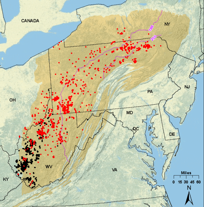
In the Marcellus region, TRACER was used to develop hourly, species‑resolved emission inventories across multiple spatial scales. This case study highlights regional‑to‑basin‑scale modeling approaches and inventory development for a large shale gas production area.
Map image provided by the US Energy Information Administration
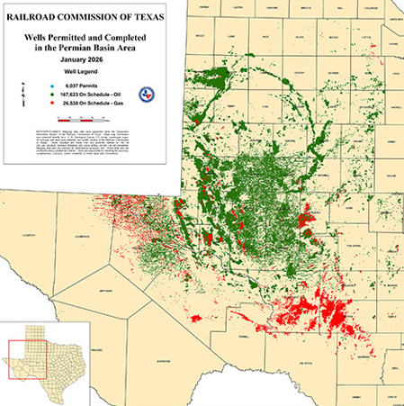
Case studies in the Permian Basin expanded on the approaches developed in the Eagle Ford Shale and Marcellus regions to evaluate emissions patterns and their atmospheric impacts in one of the largest and most productive oil and gas regions in the United States. These studies highlight a variety of applications for the TRACER framework including source impact analyses, human health studies, and emissions inventory evaluation
Map image provided by the Texas Railroad Commission
Additional case studies will be added as TRACER continues to expand to new regions and applications.